

Maps of Franklin County, Florida
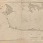 Preliminary Chart of Western Part of St. George's Sound1860|U.S. Lake Survey1:40 000
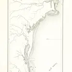 The Narrative of A. Nuñez Cabeça de Vaca: translated by B. Smith. [With a prefatory notice by G. W. R. Jr., i.e. George W. Riggs.]1851|NUÑEZ CABEÇA DE VACA, Alvar.
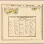 Embouchure du Mississipi. Amer. Sep. 61.1827|Vandermaelen, Philippe, 1795-18691:1 641 836
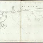 The coasts of West Florida, Alabama, Mississippi & Louisiana.1828|Gauld, George.1:680 000
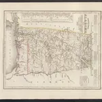 Neueste Karte von Alabama mit seinen Canaelen, Strassen, Eisenbahnen, Entfernungen der Hauptpunkte und Routen für Dampfschiffe1860|Meyer, J.
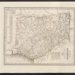 Neueste Karte von Georgia mit seinen Strassen, Eisenbahnen und Entfernungen1860|Meyer, J.
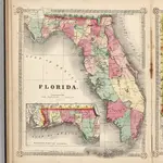 Florida.1865|Schonberg & Co.1:1 080 000
1600
1650
1700
1750
1800
1850
1900
1950
2000


Old maps of Franklin County, Florida
Discover the past of Franklin County, Florida on historical maps
Old maps of Franklin County, Florida
Discover the past of Franklin County, Florida on historical maps
Looking for a Google Maps API Alternative?