Maps of Hughes County, South Dakota
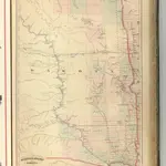 1875|Asher & Adams1:1 260 000
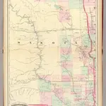 1874|Asher & Adams1:1 267 200
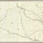 1856|Warren, Gouverneur Kemble, 1830-18821:600 000
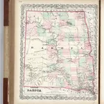 1874|Colton, G.W.1:2 090 880
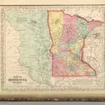 1859|Mitchell, Samuel Augustus1:2 400 000
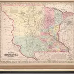 1857|Mitchell, Samuel Augustus1:2 400 000
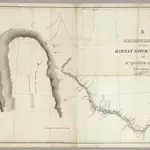 1835|Featherstonhaugh, G.W.1:506 880