

Maps of Idaho County, Idaho
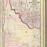 Idaho.1875|Cram Atlas Company1:1 330 560
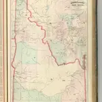 Idaho, Montana Western Portion.1875|Asher & Adams1:1 280 000
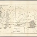 Map of Public Surveys in the Territory of Washington,18621862|U.S. General Land Office
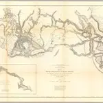 Rocky Mountains to Puget Sound.1861|Stevens, Isaac I.1:1 200 000
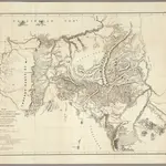 Map Showing the Routes travelled by the Command Of Majr. E. Steen1860|Dixon, Joseph1:750 000
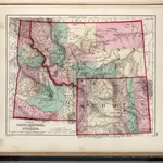 Idaho, Montana and Wyoming.1873|Gray, O.W.1:3 168 000
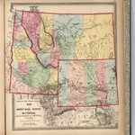 Montana, Idaho, and Wyoming.1872|Lloyd, H.H.1:2 947 516
1600
1650
1700
1750
1800
1850
1900
1950
2000


Old maps of Idaho County, Idaho
Discover the past of Idaho County, Idaho on historical maps
Old maps of Idaho County, Idaho
Discover the past of Idaho County, Idaho on historical maps
Looking for a Google Maps API Alternative?