Maps of Manvel, North Dakota
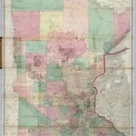
 1874|Andreas, A. T. (Alfred Theodore), 1839-19001:760 320
 1866|Sewall, Joseph S.1:760 320
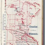 1866|Larrance, Isaac, 1804-18961:5 068 800
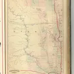 1875|Asher & Adams1:1 260 000
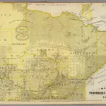
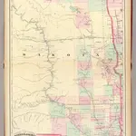 1874|Asher & Adams1:1 267 200
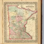 1870|Mitchell, Samuel Augustus1:2 100 000
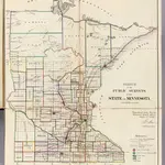 1866|U.S. General Land Office1:1 140 480