

Maps of Pittsfield, Maine
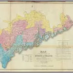 Maine, inhabited part.1829|Greenleaf, Moses, 1777-18341:560 000
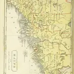 The Boston School Atlas. With elemental geography and astronomy, etc. (Fourth edition.) [Maps, with explanatory text.]1831|Lincoln & Edmunds
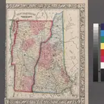 New Hampshire and Vermont.1860
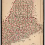 Maine.1871|Beers, Frederick W.1:887 000
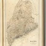 Maine.1856|Black, Adam & Charles1:1 300 000
 Maine1845|Breese, Samuel1:1 350 000
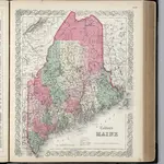 Maine.1865|Colton, G.W.1:2 100 000
1600
1650
1700
1750
1800
1850
1900
1950
2000


Old maps of Pittsfield, Maine
Discover the past of Pittsfield, Maine on historical maps
Old maps of Pittsfield, Maine
Discover the past of Pittsfield, Maine on historical maps
Looking for a Google Maps API Alternative?