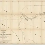
Maps of Winter Gardens, California
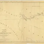
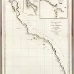
Old maps of Winter Gardens, California
Discover the past of Winter Gardens, California on historical maps
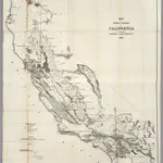
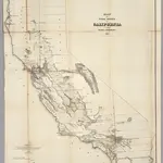
Old maps of Winter Gardens, California
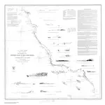
Discover the past of Winter Gardens, California on historical maps
Looking for a Google Maps API Alternative?