地図 カイオワ郡 (カンザス州)
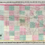 1870|Colton, G. W. & C. B.1:570 240
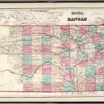 1873|Gray, O.W.1:1 140 000
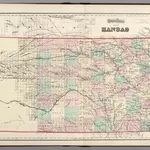 1874|Gray, Ormando Willis1:1 159 000
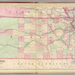 1874|Asher & Adams1:1 267 200
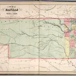 1859|Mitchell, Samuel Augustus1:1 457 280
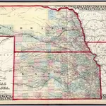 1874|Mitchell, Samuel Augustus Jr.1:1 900 000
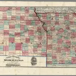 1869|Cram, George Franklin
カイオワ郡 (カンザス州)の古地図
歴史的な地図でカイオワ郡 (カンザス州)の過去を発見する
カイオワ郡 (カンザス州)の古地図
歴史的な地図でカイオワ郡 (カンザス州)の過去を発見する
を探している Google Maps APIの代替?