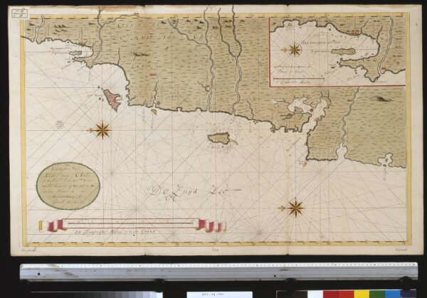
Een gedeelte van de kust van Chili in de Zuijd Zee van Po. IJtata tot El Laguia of van 36 tot 41 graden Breete
ArcGIS, QGIS or web apps can simply
use this map with web map services.
WMTS, TileJSON or XYZ tiles
are provided for quick access to processed maps.
Sign in to get links.