Kaarten van Escambia County (Florida)
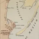 1862|L. Prang & Co.
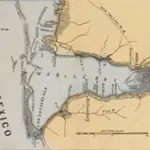 1861
1861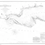 1859|U.S. Lake Survey1:30 000
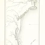 1851|NUÑEZ CABEÇA DE VACA, Alvar.
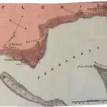 1861
1861 1861|J. Wyld
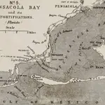 1861|J. Wyld
Oude kaarten van Escambia County (Florida)
Ontdek het verleden van Escambia County (Florida) op historische kaarten
Oude kaarten van Escambia County (Florida)
Ontdek het verleden van Escambia County (Florida) op historische kaarten
Op zoek naar een Google Maps API-alternatief?