地图 拉玛 (科罗拉多州)
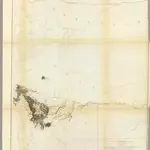 1861|Gunnison, J.W.1:760 320
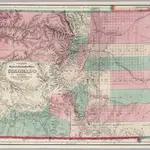 1871|Colton. G.W. & C.B.1:633 600
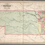 1859|Mitchell, Samuel Augustus1:1 457 280
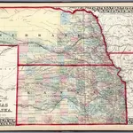 1874|Mitchell, Samuel Augustus Jr.1:1 900 000
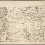 1875|U.S. War Department1:1 530 000
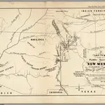 1855|U.S. General Land Office1:380 160
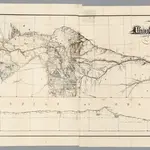 1869|Dodge, G.M.1:1 267 200
拉玛 (科罗拉多州)的老地图
在历史地图上发现 拉玛 (科罗拉多州) 的过去
拉玛 (科罗拉多州)的老地图
在历史地图上发现 拉玛 (科罗拉多州) 的过去
寻找 谷歌地图应用程序接口替代方案?