地图 梅爾文 (堪薩斯州)
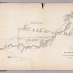 1852|Owen, David Dale
 1870|Colton, G. W. & C. B.1:570 240
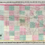
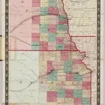 1860|Johnson, A.J.1:823 680
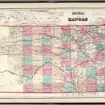 1873|Gray, O.W.1:1 140 000
 1874|Gray, Ormando Willis1:1 159 000
 1845|Morse, Sidney E. (Sidney Edwards), 1794-18711:1 650 000
 1845|Breese, S.1:1 800 000
梅爾文 (堪薩斯州)的老地图
在历史地图上发现 梅爾文 (堪薩斯州) 的过去
梅爾文 (堪薩斯州)的老地图
在历史地图上发现 梅爾文 (堪薩斯州) 的过去
寻找 谷歌地图应用程序接口替代方案?